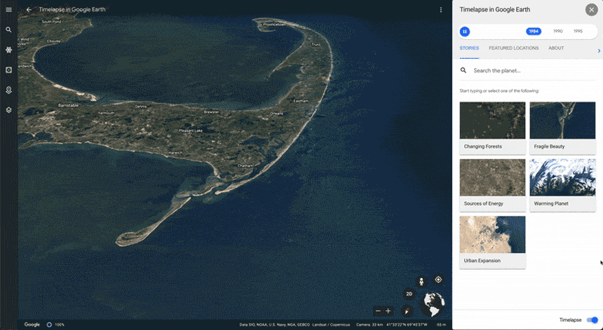
Google Earth partnered with NASA, the European Space Agency and EU’s Copernicus Climate Change Service to bring together 24 million satellite photos taken from 1984-2020.
This “timelapse” feature on thte app provides photographic evidence of a planet changing right before our eyes: shorelines disappear, trees are torn down, cities expand, glaciers melt.
“We can objectively see global warming with our own eyes, we hope that this can ground everyone in an objective, common understanding of what’s actually happening on the planet, and inspire action. Google Earth—has become dynamic, providing ongoing visual evidence of Earth’s changes from climate and human behavior occurring across space and time, over four decades.”—said Rebecca Moore, director of Google Earth
Tree loss in Brazil in 2020 surged by a quarter over the prior year—photographed above the Marmore’ rive, Brazil